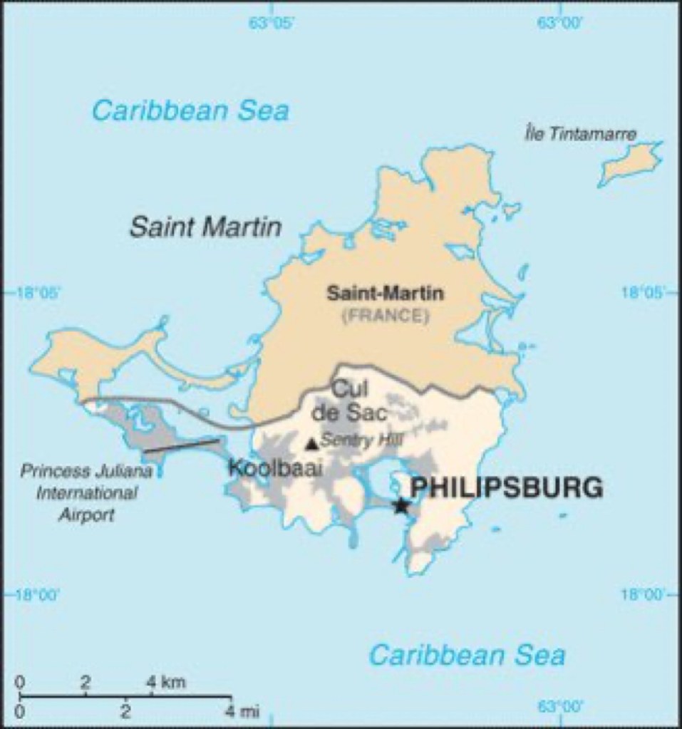
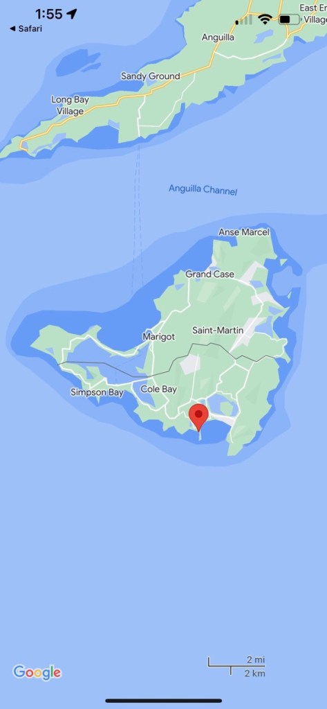
Sint Maarten or Saint Martin, is one the smallest land areas on earth that is divided between two nations. The Dutch control around 40% of the Island and the French control the other 60% of the landmass. This strange arrangement dates back to the first half of the 17th century, when both nations allied in their struggle to expel the Spanish from the island during the Eighty Years War. Though still powerful in the Greater Antilles, the lesser Antilles were sparsely settled by the Spanish. Encroachment from Barbados and the southern windward islands, focused on a Sint Maarten’s central location at the top of the leeward islands and east of Puerto Rico.
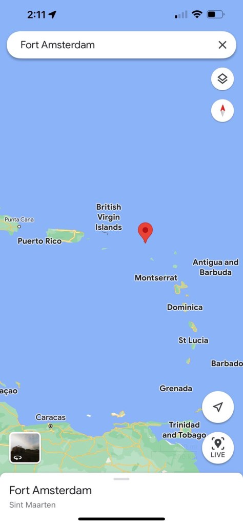
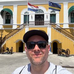
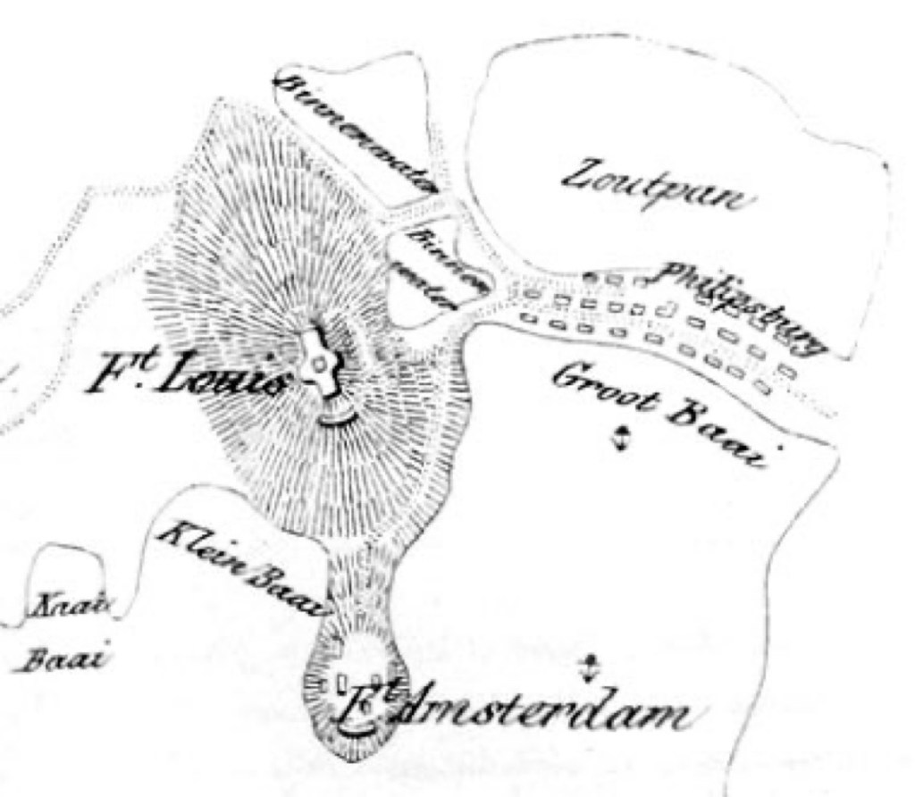
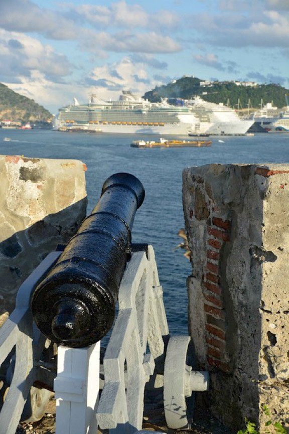
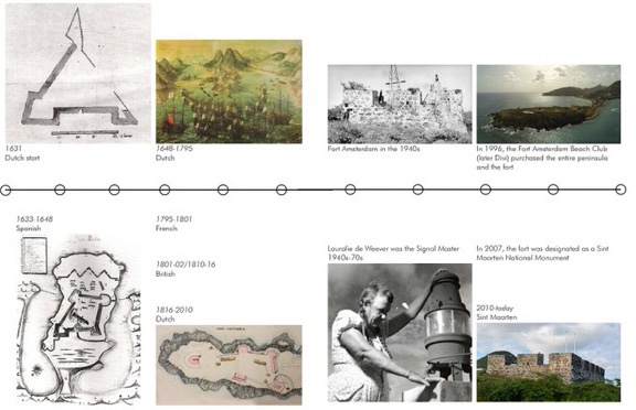
Philipsburg is the capital city and chief port of the modern Dutch half of the Island and served the role of primary colonial port in the 17th century. Fort Amsterdam was constructed in 1631 to protect Dutch claims and was the first major fortification constructed by the Netherlands in the Caribbean. It was captured by the Spanish two years later and began to rival El Morro in importance, as the fort dominated the harbor sitting on a long hilly peninsula that controlled the western opening of the bay.

The Spanish poured money into improving the fort’s defenses over the next 15 years and the site grew to rival “El Morro” in San Juan, in terms of strength. Dutch and French forces successfully banded together to drive the Spanish out by the mid 1630s, but the Spanish crown reinforced it’s presence with with thousands of troops in 1638. The construction continued in earnest from this point forward at the site of Fort Amsterdam. By 1644, Spanish forces had been stripped from the Island to other fill more important fronts and the WIC decided to launch an attempt to retake the Island.
Peter Stuyvesant of later New Amsterdam fame, was given the task of leading a strike force from the Dutch base of Curaçao. Stuyvesant had around 600 soldiers and sailors in eight war ships, when he arrived off of Philipsburg on March 20, 1644. In another sign of international cooperation, the Dutch flotilla had stopped at St. Kitts, to pick up both French and English volunteers, being a shared geographic space at a time of great global conflict as well. The Spanish defenders only maintained a contingent of around 120 soldiers, manning the significant fortifications. The siege got off to a promising start, as the Dutch were able to set up a battery on the heights overlooking the fort.
After initiating a successful bombardment, tragedy struck the expeditionary force, as a lucky Spanish cannon ball careened off the deck and the deflection shattered Peter Stuyvesant’s leg. The wound was so serious that the leg was amputated and the legendary cankerous legend of the “Peg-legged” Governor-General was born. Unfortunately the Dutch force was left without an able commander and failed to press it’s advantage. A nighttime attack was foiled several nights later and the arrival of a Spanish resupply flotilla sapped any remaining Dutch moral. By early April, the Dutch destroyed their siege lines and sailed back to their base on Curaçao. The Spanish would occupy the island for four more years until the 1648, when The Peace of Westphalia was signed. The island was vacated by the Spanish and left to both the French and Dutch to divide amongst themselves. The Treaty of Concordia was signed in the same year and this saw the island divided in it’s current form.

Legend has it that a single French and Dutch inhabitant were chosen to walk the islands western shore. Starting from a northern and southern position, each colonist walked toward the center of the island. At the point at which their paths crossed, a horizontal line was drawn across the island. Today one can travel freely between both sides of the island without customs duties or checkpoints.
